
SATNAV has its place but they do not give the same artistic pleasure as a great map.
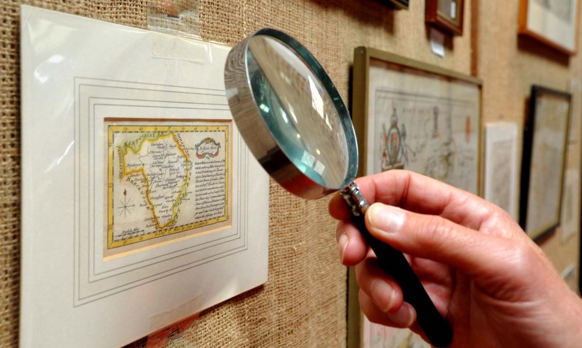
There is sale and exhibition at Aardvark Books in Brampton Bryan, with more than 130 original maps of Wales and the four counties covered by the Council of the Marches which administered the borders for more than two centuries from 1472 to 1689.
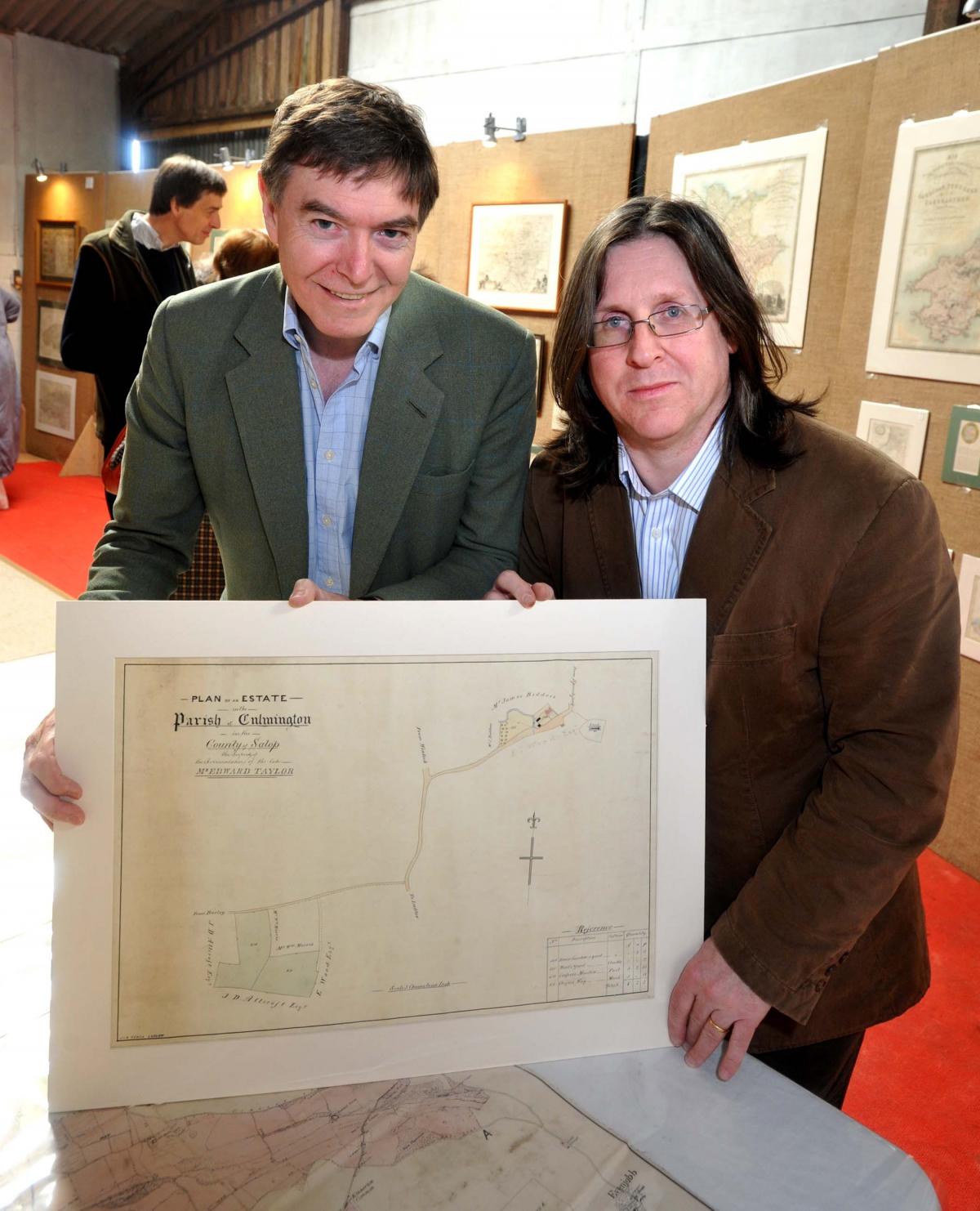
It includes single county maps, foreign made maps of the area, hand drawn estate maps, an estate atlas for the village of Clifford in Herefordshire, and John Bill’s map of Herefordshire of 1626.
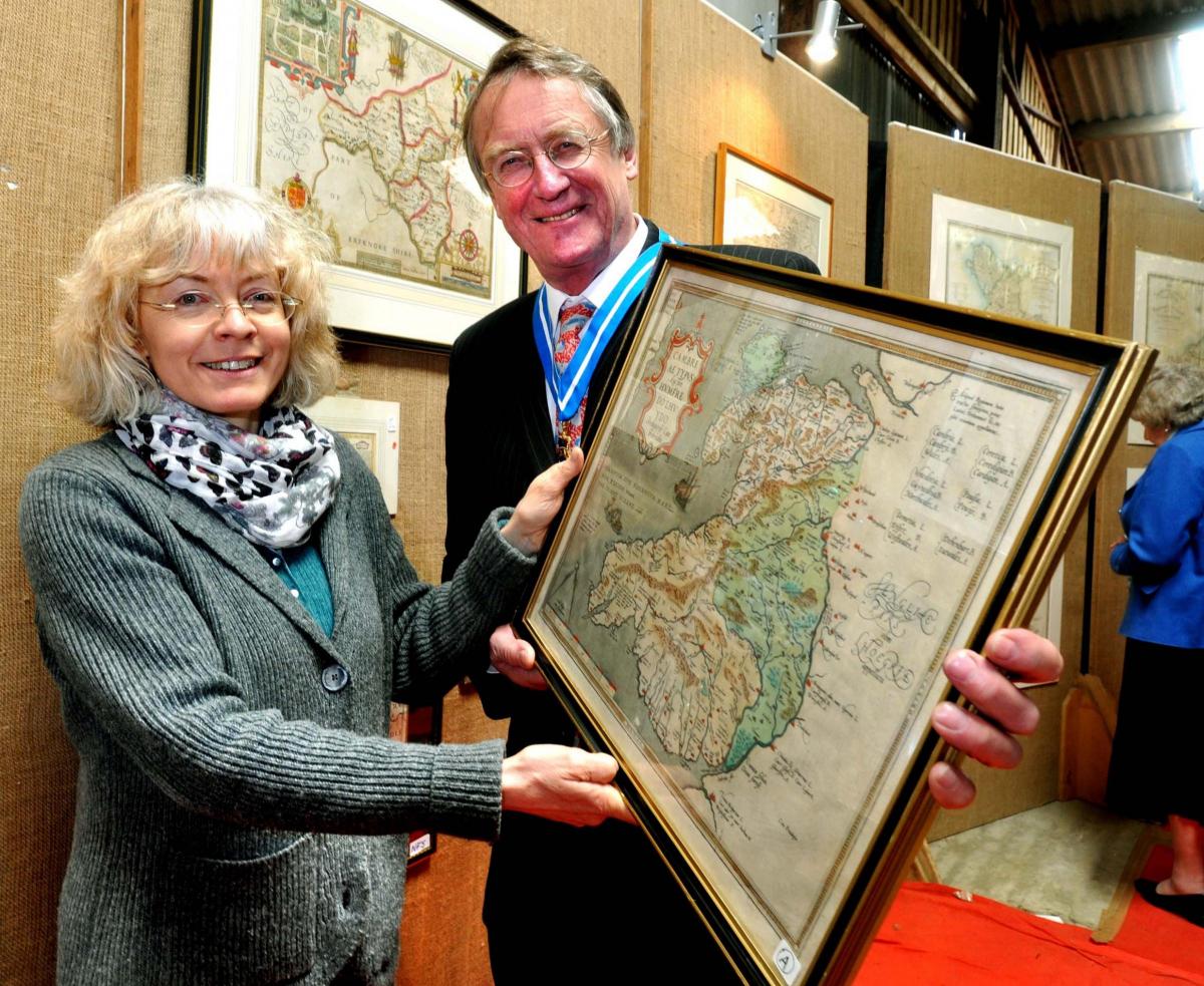
Also included are two early examples of Humphrey Llwyd’s first map of Wales, with one from 1573 another from 1591. Some of the estate maps have not been shown in public previously.
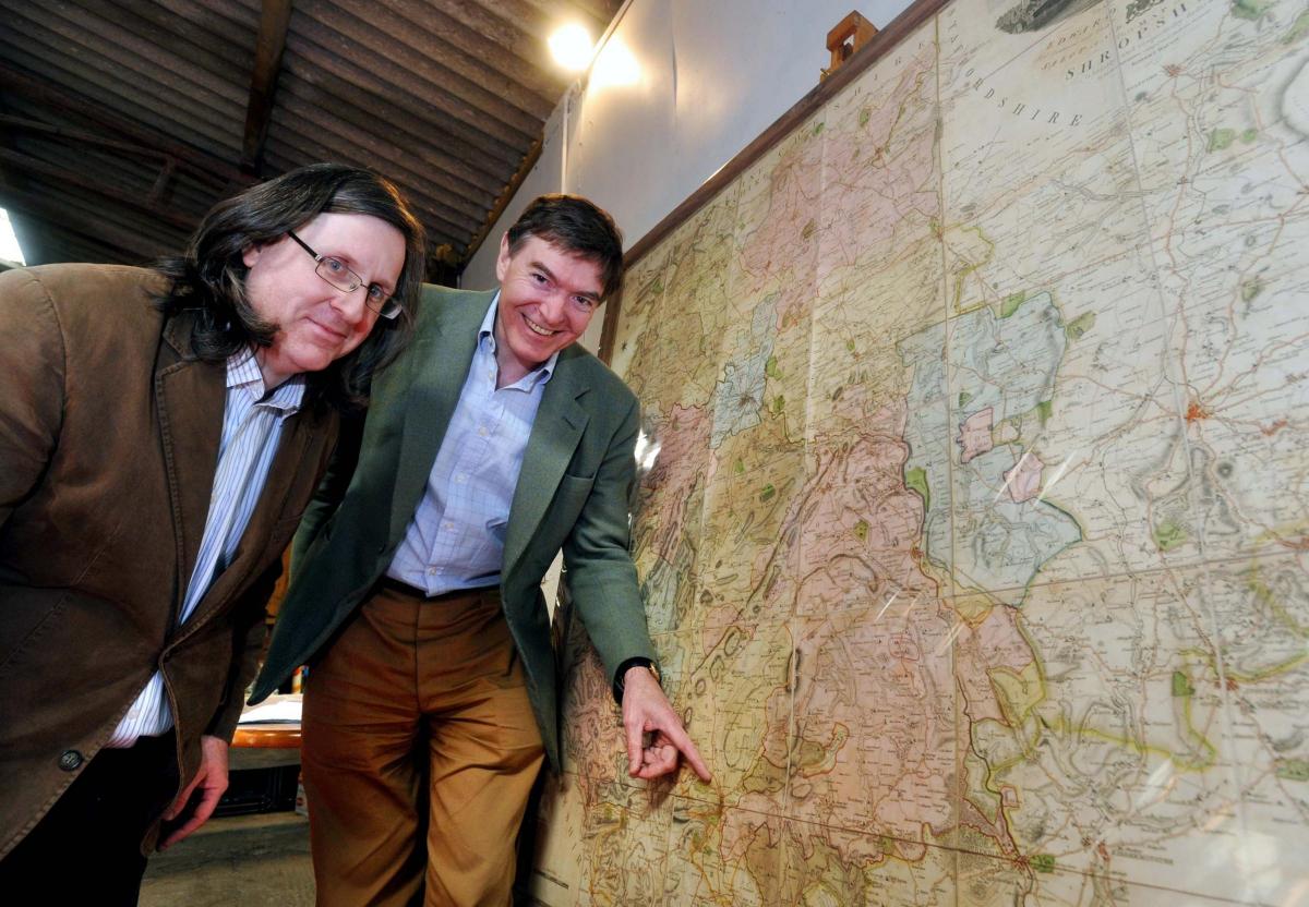
Among the star exhibits is a rare variant copy of Robert Baugh’s giant map of 1808. This example which has been coloured and was used by the estate office of Weston Park estate and is still in its original carrying case.
While other examples exist, most notably at Powis Castle as the map was dedicated to the Earl of Powis, this copy is in particularly fine condition, and is an excellent example of a copy which was mounted on cloth and cut into smaller panes, 36 rather than the usual nine, in order for it to be easier to use about the estate.
The Baugh map is the finest visual record of the Shropshire industrial revolution, and includes some sites which are only known from this source.
Ludlow MP Philip Dunne was one of the enthusiasts at the exhibition when it opened.


Comments: Our rules
We want our comments to be a lively and valuable part of our community - a place where readers can debate and engage with the most important local issues. The ability to comment on our stories is a privilege, not a right, however, and that privilege may be withdrawn if it is abused or misused.
Please report any comments that break our rules.
Read the rules hereComments are closed on this article